 live demo
Concept project
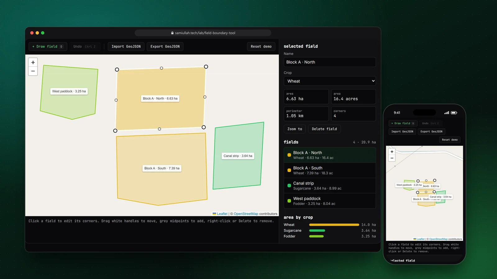
Field Boundary Drawing Tool
Draw a field near Sargodha, drag its corners, watch hectares update live, then export and re-import it as GeoJSON.
TypeScriptReact.jsNext.jsLeaflet
▶ Open demoSami Ullah builds geospatial web applications at Earth Scan Systems, where he works on agricultural advisory platforms. His work includes GeoJSON handling, drawing and editing field boundaries as polygons, and showing remote sensing data such as NDVI vegetation index layers in React interfaces.
Used professionally since 2025 (1+ years)
Since August 2025 I have worked at Earth Scan Systems on web platforms that combine maps, satellite data and crop advice. On this site I only describe what is public about that work.
The core building blocks are GeoJSON for shapes, polygon drawing for field boundaries, and NDVI (Normalized Difference Vegetation Index) values derived from satellite imagery to show crop health.
Official documentation: GeoJSON specification (RFC 7946), Leaflet documentation
live demoConcept project
Draw a field near Sargodha, drag its corners, watch hectares update live, then export and re-import it as GeoJSON.
 live demo
Concept project
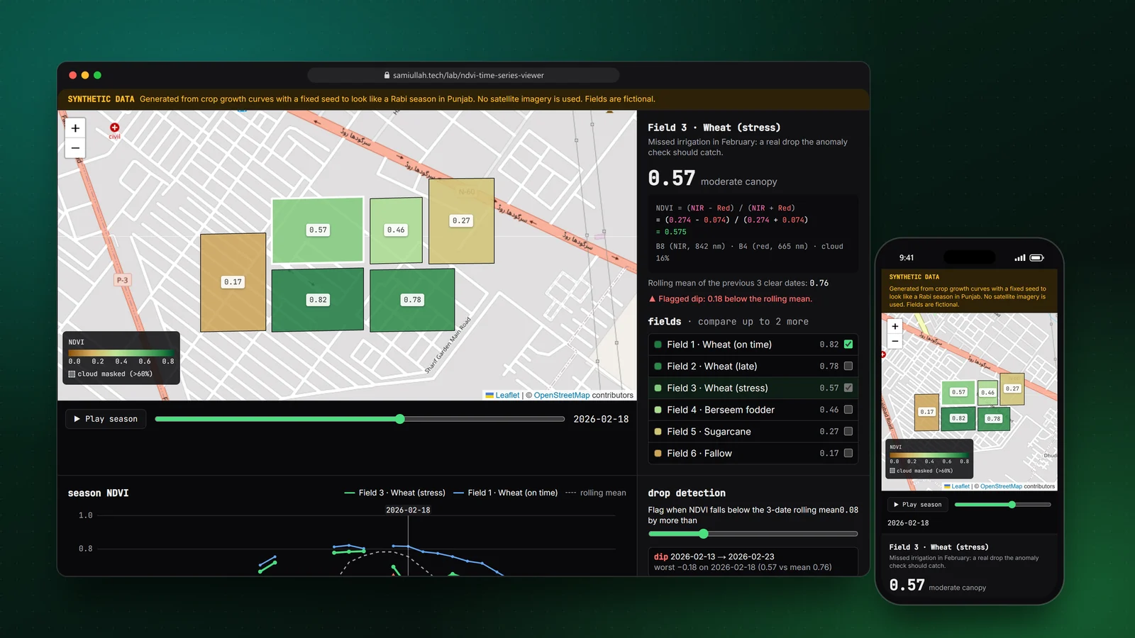
Play a season of NDVI across six fields, compare their curves, and tune the detector that flags a stressed wheat field.
Own product
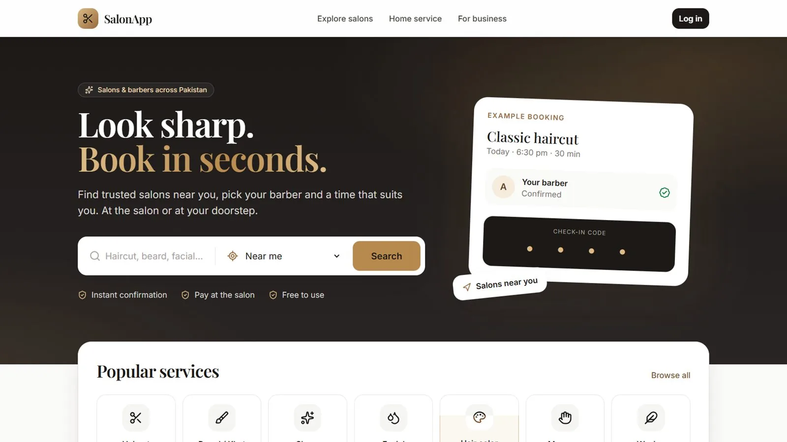
A multi-salon booking marketplace I designed and built for Pakistan. Clients find nearby salons on a map, choose a barber, service and time, and book at the salon or as a home visit. Salons run staff, schedules and earnings from their own dashboard, and the platform collects a commission per completed booking through daily settlements.
 live demo
Concept project
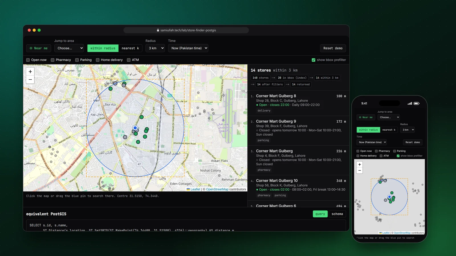
Click anywhere in Lahore to find the nearest stores, filter by open now and services, and read the PostGIS query for each search.
 live demo
Concept project
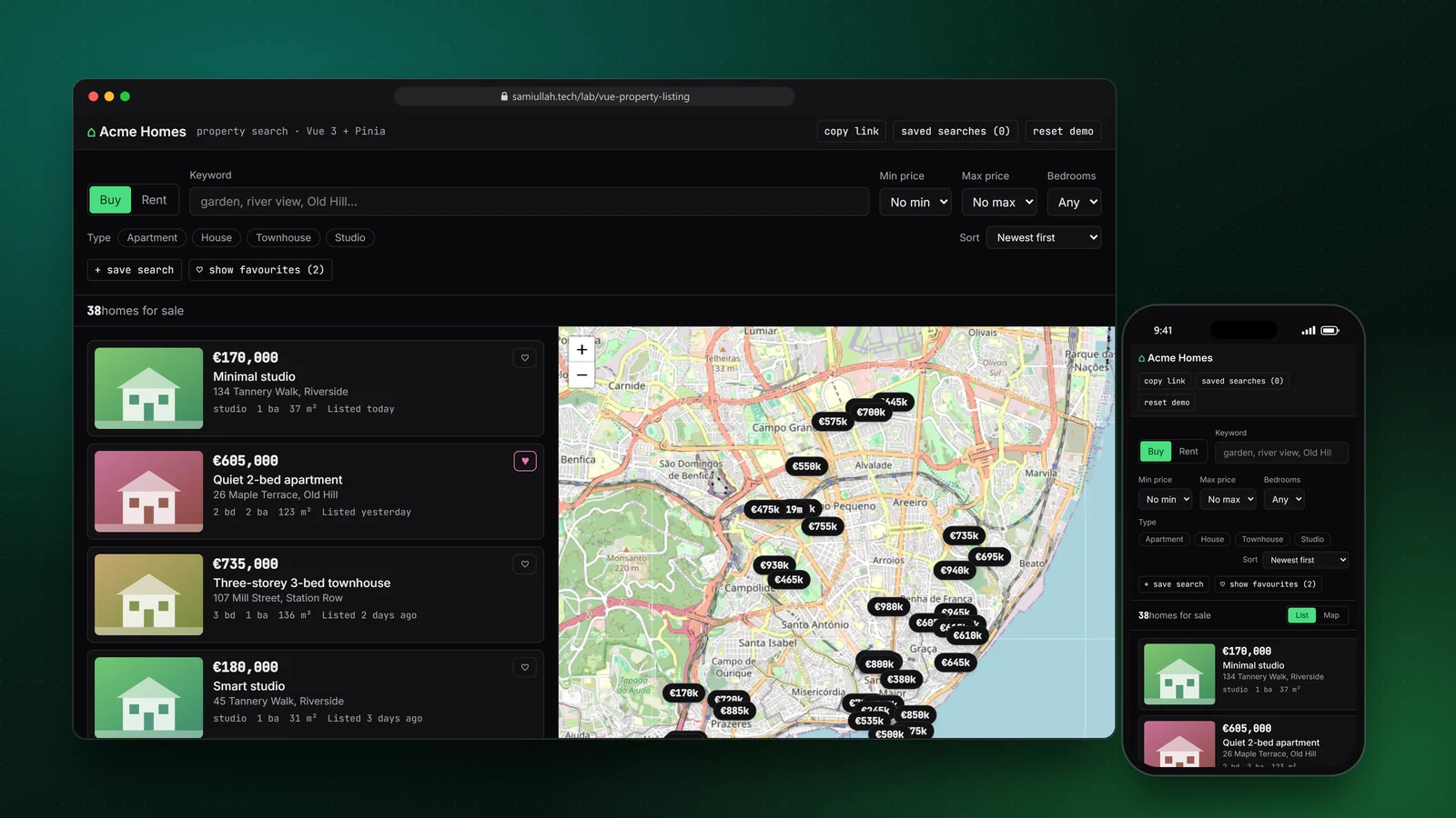
Filter 60 listings, hover a card to light its pin, search the map area, save a search and reopen it from a copied link.
 live demo
Concept project
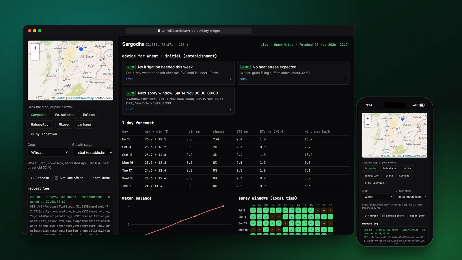
Click a farm on the map, choose a crop and stage, and get live-weather advice on irrigation, heat stress and spray windows.
#postgresql6 min
A PostGIS introduction for web developers: geography vs geometry, nearby search with ST_DWithin, GiST spatial indexes, and GeoJSON output for Leaflet maps.
read →
NDVI, the Normalized Difference Vegetation Index, is calculated from satellite near-infrared and red bands as (NIR − Red) / (NIR + Red). Values near 1 indicate dense healthy vegetation, values near 0 bare soil. Agricultural web apps show NDVI per field over time so farmers can spot stressed areas early.
Sami Ullah works at Earth Scan Systems on geospatial and agricultural advisory platforms. His work involves GeoJSON data, polygon mapping for field boundaries and displaying remote sensing data such as NDVI in web interfaces built with React and Node.js.
A typical stack is Leaflet or MapLibre GL for the map, GeoJSON as the exchange format, a drawing plugin for polygons, a Node.js API that validates and stores shapes, and PostgreSQL with PostGIS for spatial queries. Tile layers come from providers such as OpenStreetMap or satellite imagery services.